
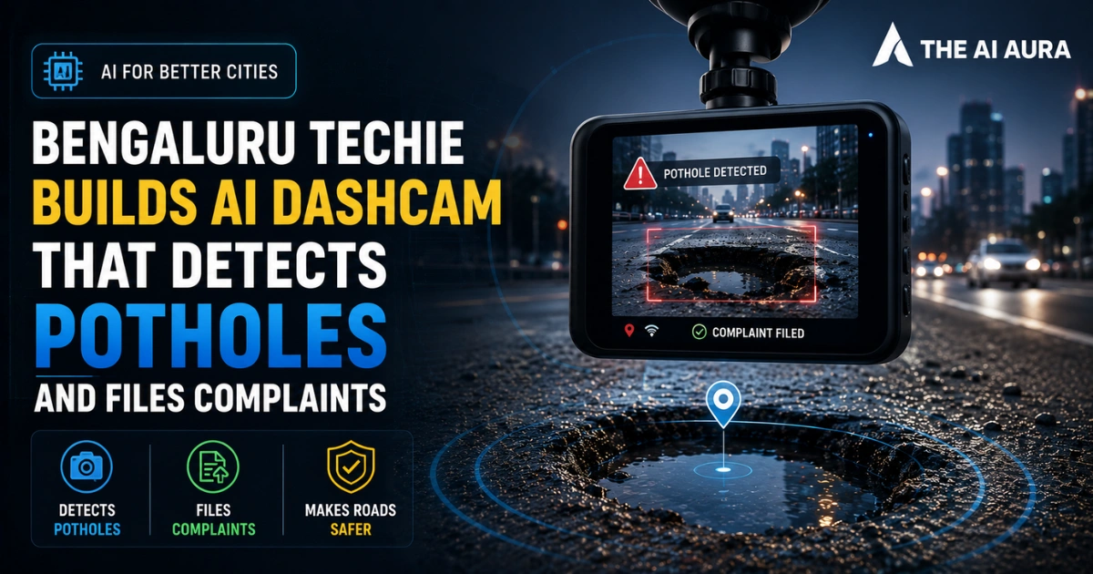

Commuting in Bengaluru often feels like navigating a lunar surface. Potholes are not just a daily annoyance. Furthermore, they are a severe safety hazard. They damage vehicles and grind congested traffic to a halt.
For years, frustrated residents have tried everything. They planted saplings in craters. They even staged mock moonwalks to get attention.
But one local engineer, Sen, decided to approach the problem with a different mindset. Instead of relying on manual reporting or performative protests, he turned to automation.
He transformed a standard car dashcam into an AI-driven civic watchdog that identifies road damage and files official grievances almost instantly.
As someone who closely follows the intersection of civic tech and urban infrastructure, I find this to be a fascinating blueprint for how citizen-led engineering can force administrative accountability.
The Hardware and Software Synergy Behind the Tech
To understand this system, you must examine Sen’s hardware-software stack. First, it starts with low-cost equipment. He used a standard dashcam, a GPS module, and an accelerometer. Next, he fitted all of these directly into his car.
As he drives, the dashcam continuously records the street ahead. Simultaneously, the accelerometer registers the physical jolts of the vehicle. This dual-sensor approach is very clever.
Consequently, it confirms the mechanical impact of a damaged road. This ensures shadows or dark patches do not fool the system.
But raw hardware data is practically useless without a way to process it. This is where Sen leveraged modern coding tools. Using Codex, he developed a custom application that acts as the nerve center of the operation.
This app acts as the nerve center. It takes video and sensor data, feeding it directly into AI vision models. The AI instantly recognizes a pothole’s visual signature. When the video feed spots a crater, the accelerometer corroborates it. Then, the GPS immediately tags the exact geographic coordinates.
Ultimately, it forms a seamless loop of observation and location mapping. This all happens in real-time without distracting the driver.
Automating the Civic Complaint Process
Spotting road damage is only half the battle. Getting authorities to fix it is much harder. Typically, filing a complaint requires a resident to pull over. Then, they must take a picture and navigate a clunky app.
Next, they pinpoint the location and fill out a form. As a result, this high-friction process discourages widespread reporting.
Fortunately, Sen’s AI setup eliminates this friction entirely. Once the vision model flags a pothole, the app attacks the bureaucracy. Remarkably, it compiles a complete report within four seconds.
It grabs a clear photographic frame from the dashcam footage. Additionally, it attaches the exact GPS coordinates and drafts a formal complaint.
Crucially, the system doesn’t just blast these reports into a void. It is designed to process the location data to identify exactly which civic body, department, or contractor is responsible for maintaining that specific stretch of asphalt. It packages all this undeniable evidence into a ready-to-send format.
By removing human procrastination and manual effort from the reporting cycle, this automated pipeline shifts the pressure entirely onto the authorities to patch the roads they are responsible for.
Source: The Economic Times, "Bengaluru Techie Turns Car Dashcam Into AI Tool That Spots Potholes and Files a Complaint in Four Seconds With Photo and Exact Location"