
For decades, agricultural data in regions with highly fragmented farmland has operated at a macro level tracking district-wide trends rather than individual fields. This lack of granular visibility limits precision farming, credit assessment, and resource allocation for smallholder farmers.
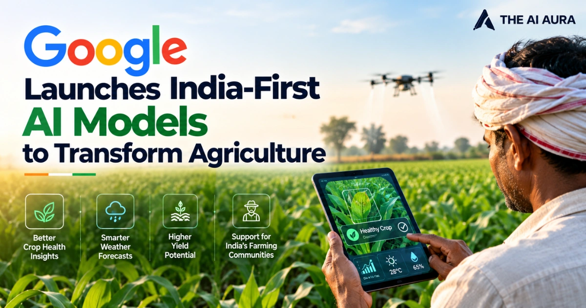
To solve this data gap, Google DeepMind’s AnthroKrishi team has developed and launched two India-first artificial intelligence models: Agricultural Landscape Understanding (ALU) and Agricultural Monitoring and Event Detection (AMED).
By shifting the focus from regional approximations to field-level agricultural intelligence, these models translate complex satellite imagery into actionable infrastructure for policymakers and agritech platforms.
How ALU and AMED Process Field-Level Data
The core technological breakthrough of this initiative lies in how these two models ingest, analyze, and distribute spatial data. Agricultural Landscape Understanding (ALU) serves as the foundational spatial engine.
It processes raw satellite imagery and remote sensing inputs through machine learning algorithms to identify exact agricultural land patterns.
Instead of simply noting where general vegetation exists, ALU maps distinct farm boundaries, delineates water bodies, and identifies specific landscape features like trees at a meter-scale resolution.
Agricultural Monitoring and Event Detection (AMED) acts as the dynamic tracking layer on top of ALU’s static maps. AMED monitors temporal agricultural changes and event-based signals across crop seasons.
It tracks crucial operational milestones such as crop types, sowing, and harvesting, providing continuous in-season intelligence rather than retrospective historical assessments.
Rather than locking this data behind proprietary software, Google has made the outputs accessible via application programming interfaces (APIs) and integrated the data generated by ALU and AMED directly into Google Earth as a visual data layer.
This architecture allows developers and governments to easily overlay localized weather, ground observations, or economic data onto Google’s AI-generated field maps.
Real-World Integration and Global Expansion
The practical applications of these field-level insights are already reshaping agricultural infrastructure. In the realm of agricultural finance and logistics, TerraStack an IIT Bombay-incubated startup has leveraged the ALU and AMED APIs to digitally map more than 140 million hectares of farmland.
This spatial intelligence platform drastically reduces the need for physical field visits, enabling data-backed credit and loan approvals for farmers based on verified land assets.
State governments are actively utilizing the models to optimize public resources. Karnataka’s Water Resources Department integrated the AI data to drive precision water management across 2.6 million hectares of irrigated land, combining the models’ outputs with local weather metrics to improve water productivity.
Meanwhile, Telangana’s Agricultural Data Exchange (ADeX) relies on the datasets to power digital services, including localized early warning systems and crop stress alerts for the state’s agricultural sector.
Sustainability initiatives are also benefiting from precise field tracking. CarbonFarm has combined the ALU API with Google’s Gemini AI to automate field-level insights for low-carbon rice cultivation, targeting 2 million hectares by 2030 through satellite verification of climate-resilient farming practices.
While engineered to solve the unique challenges of India’s fragmented agricultural landscape, the utility of these AI tools translates seamlessly to similar global environments.
After successful testing with Asia-Pacific partners, Google has officially expanded ALU and AMED to several African nations, including Kenya, Uganda, Ghana, Rwanda, Nigeria, and Zambia.
By accurately digitizing the physical realities of smallholder farming, these models provide the baseline intelligence needed to scale modern agricultural operations globally.
Source: GKToday, "Google Launches India-First Agricultural AI Models"