
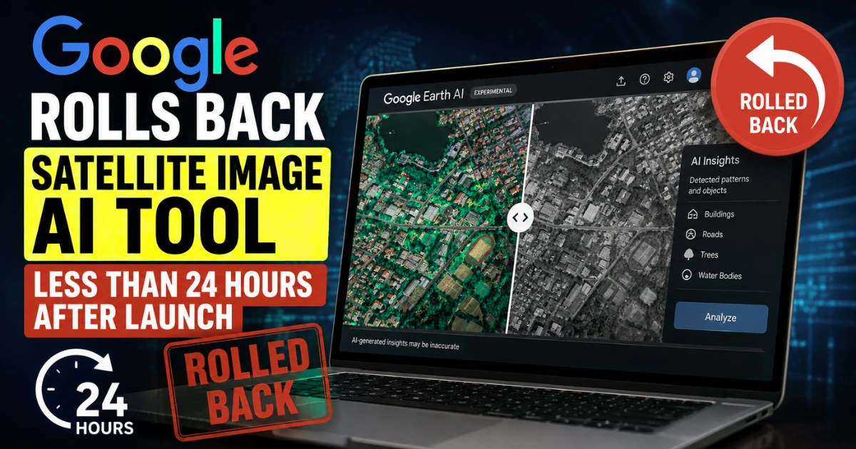

It took less than a single rotation of the earth for Google to realize it had handed the internet a loaded gun. On Thursday, July 30, the tech giant quietly pushed a major update to Google Earth.
The feature allowed anyone to instantly generate synthetic AI imagery directly on top of real-world maps. By Friday, the plug was unceremoniously pulled.
As someone who has tracked the intersection of geospatial data and artificial intelligence, this lightning-fast retraction isn’t just a typical corporate bug fix it’s a massive reality check for the generative AI industry.
The tool was intended to be a sandbox for urban planners and creatives. Instead, it triggered an immediate, coordinated alarm from open-source intelligence (OSINT) communities and researchers terrified of the disinformation risks.
The Mechanics of a Flawed Idea
To understand why this launch went off the rails so quickly, we have to look at how the tool actually functioned. Google Earth’s product team originally pitched the “create image” button as a frictionless way to bridge factual mapping data with human imagination.
The workflow was dangerously simple: users simply zoomed into any location on the web version of Google Earth, hit the generation button, and typed a text prompt to see immediate results.
Under the hood, the system leveraged Google’s Nano Banana 2 image-generation technology.
The AI didn’t just spit out a random picture; it actively ingested the actual satellite, aerial, and 3D topographical data of the chosen coordinates. It then seamlessly superimposed the user’s prompted hallucination over that specific real-world geography.
For geospatial professionals the target demographic Google cited in its initial announcement it sounded revolutionary. An architect could theoretically visualize a new transit hub over a city block in seconds.
A climate scientist could simulate sea-level rise on a specific coastline. The problem is that the underlying algorithm makes absolutely no distinction between a benign architectural rendering and a fabricated disaster.
It simply follows orders, rendering synthetic pixels onto real-world coordinates with photorealistic fidelity.
The Disinformation Nightmare
The immediate backlash that forced the 24-hour rollback didn’t come from casual users. It came from the people whose job it is to verify reality.
Today, open-source intelligence experts rely heavily on commercial satellite imagery. They use it to track military movements, verify human rights abuses, and monitor natural disasters.
When you introduce a frictionless tool that lets anyone generate fake satellite imagery over real geopolitical flashpoints, you risk poisoning the public record.
Researchers immediately flagged several obvious and alarming use cases. A bad actor could generate images of non-existent border skirmishes, fake military buildups, or fabricated damage to a nuclear facility.
Historically, creating convincing fake satellite data required advanced photo manipulation skills. It also required a deep understanding of orbital shadows, sensor resolution, and topography.
Google’s tool lowered that barrier to entry to a single sentence. The OSINT community made its concern clear.
Giving the public the ability to instantly alter perceptions of geographical reality during a period of high global tension creates massive risks.
Google listened fast, and the unprecedented 24-hour rollback stands as a stark reminder that some AI tools are simply too risky for the open web.
Source: The Times of India, "Google Rolls Back Satellite Image AI Tool in Less Than 24 Hours After Launch, Says: We Have Also Seen People Sharing Screenshots"